fbpx

CUstomized Drone Projects

We are committed to using innovative technology to provide safer, faster, and more accurate data capture than ever before. The use of drone systems for the collection of information is revolutionizing the way companies manage their assets.  Data received from drones are now reaching more and more industries everyday, and we have applications that will fit into your business. Thermography has been saving companies not only money but time. Now with the combination of thermal imaging software and sUAS aircraft. We are able help support your business by providing data that can save you money and time. We can collect crucial information safely from the ground.

our services

Agriculture

Capture the data your company needs with increased harvest and efficiency of crops. Our drones capture and deliver aerial data needed for your business.

inspections

Drone captured thermal imaging provides detailed information that the regular eye can’t see. Some examples are, potential hazards, solar panels that are not functioning properly, damaged panels.

Sports and marketing

We can take photos and overhead video of Golf Courses, soccer games, and other sporting events. Aerial previews for marketing videos help your product stand above the competition.

REal estate

We understand the importance of setting yourself and your properties apart from the competition.  Besides professional photos and virtual tours, what else can you do to realy make your properties look unique?


our expertise

Real Estate

Set yourself apart from the competition with aerial videography of your properties and the surrounding areas. The team at Real Estate Photo Pros utilizes the latest technology and cutting-edge practices in order to create original, high-quality real estate videos.

Inspections

Our inspections range from solar field inspections, search and rescue efforts, lineman and power line inspections, cellular towers, and more.

power Services

Power industry studies prove introducing drone technology to utility inspections is faster and more cost-effective than standard comprehensive walking inspections alone.

Why Latitude 61°N?

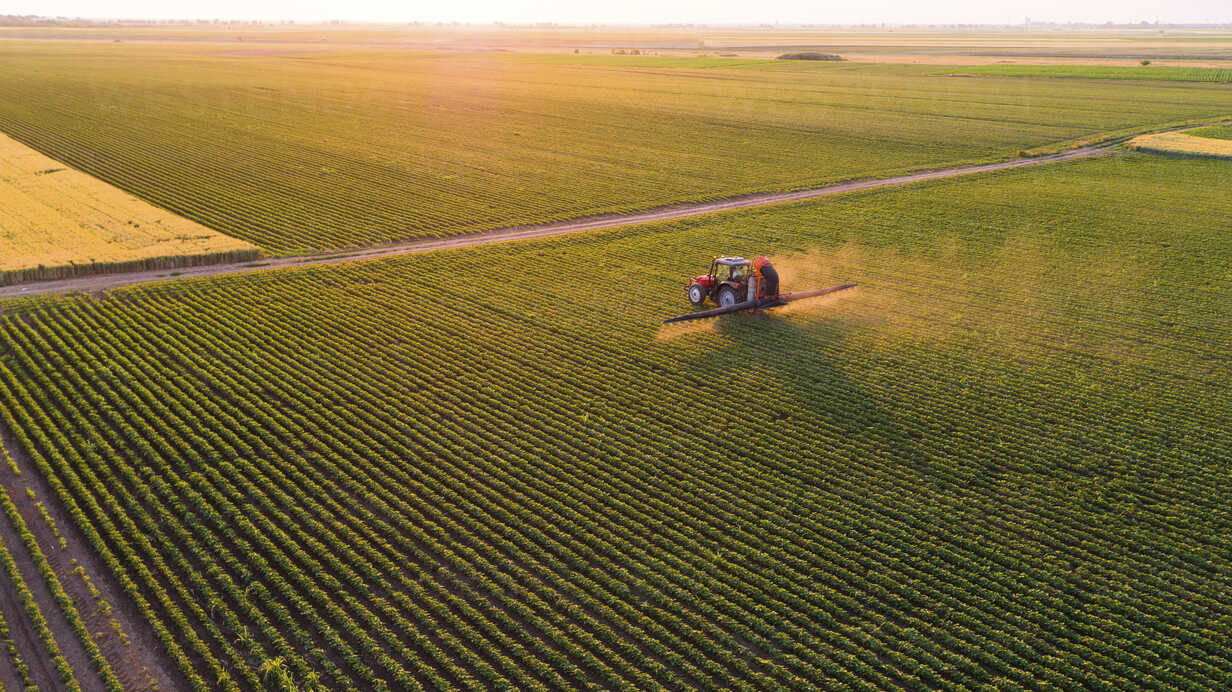
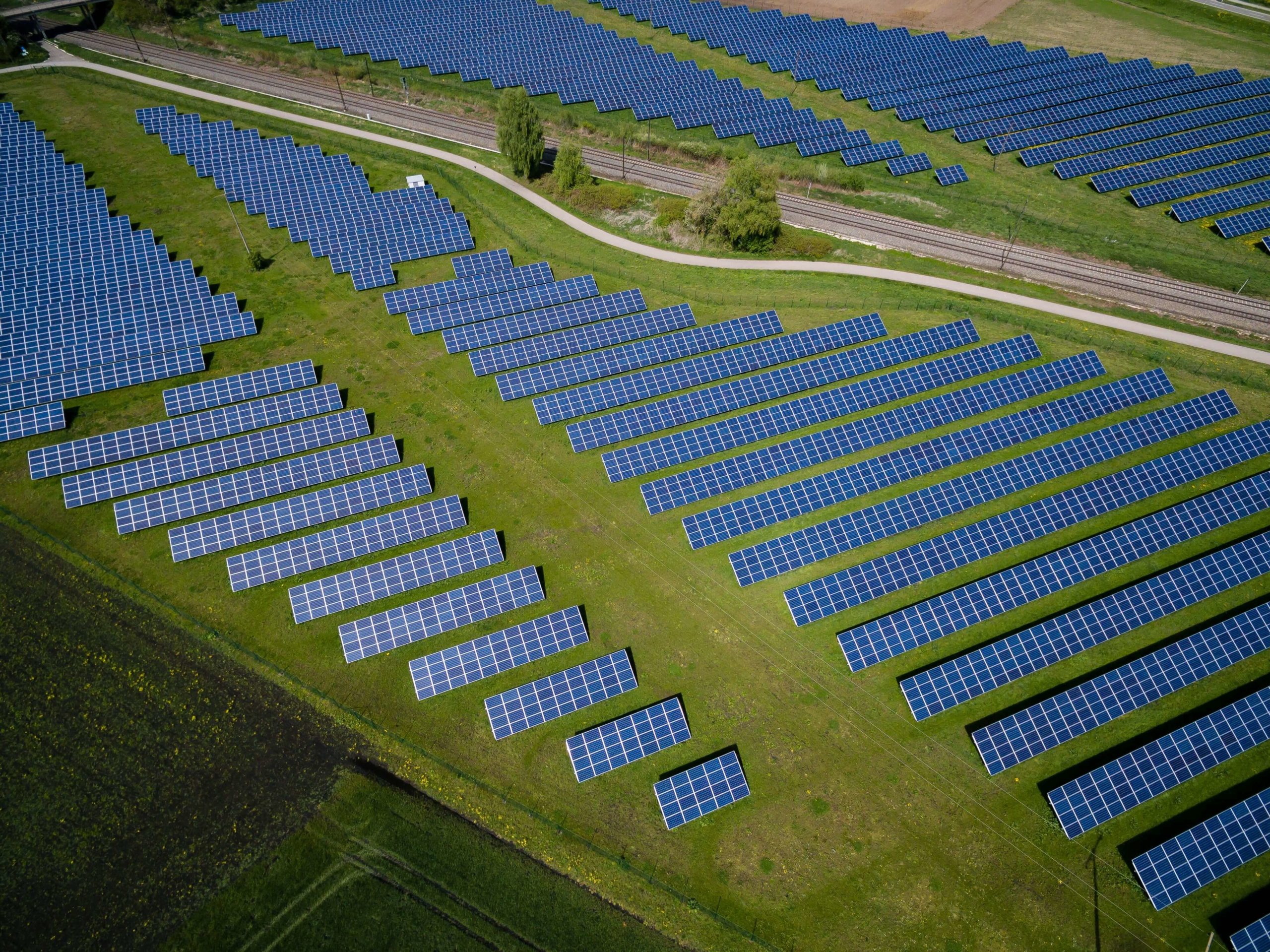
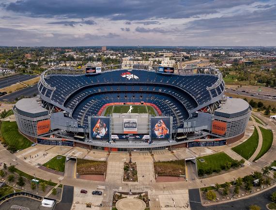
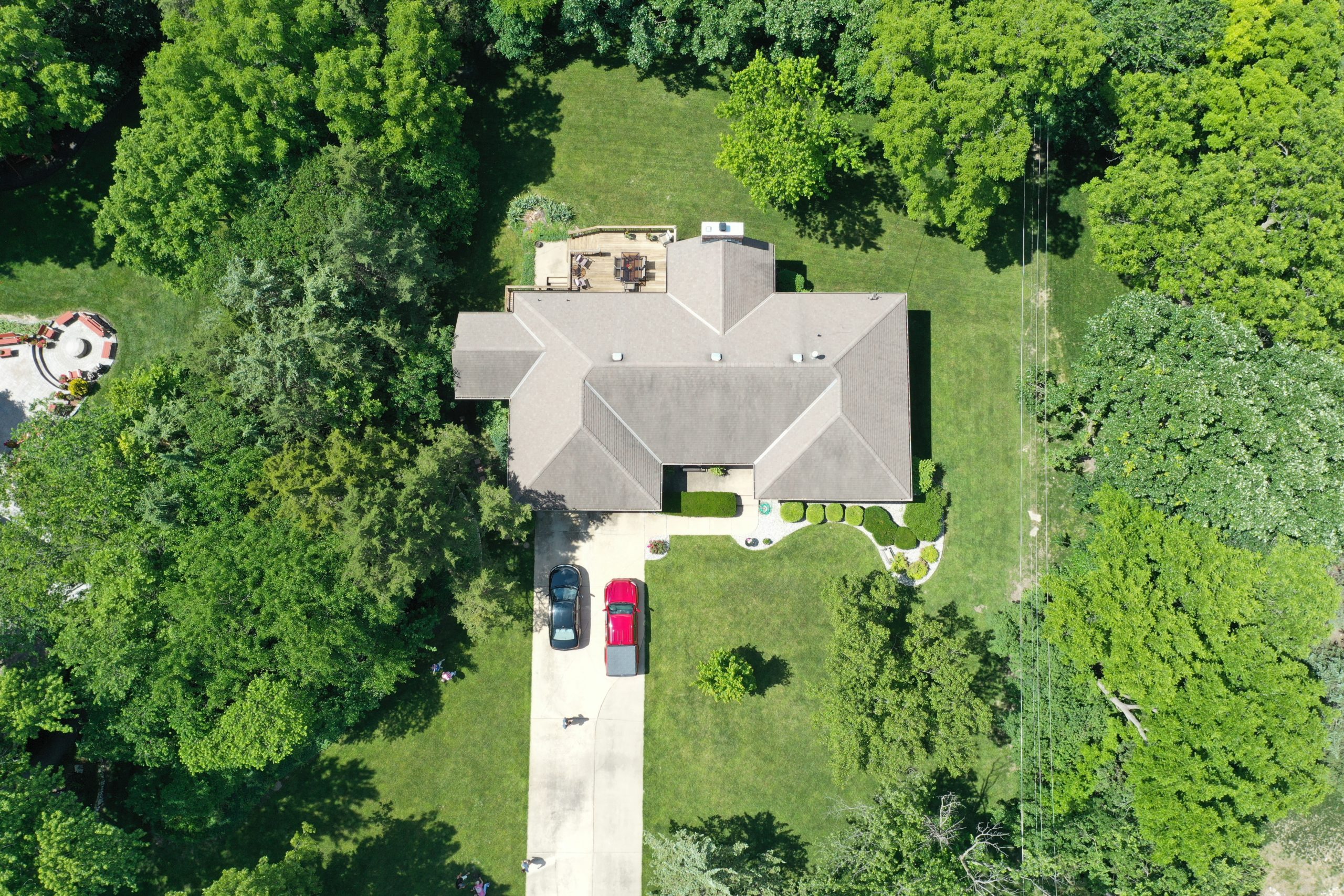
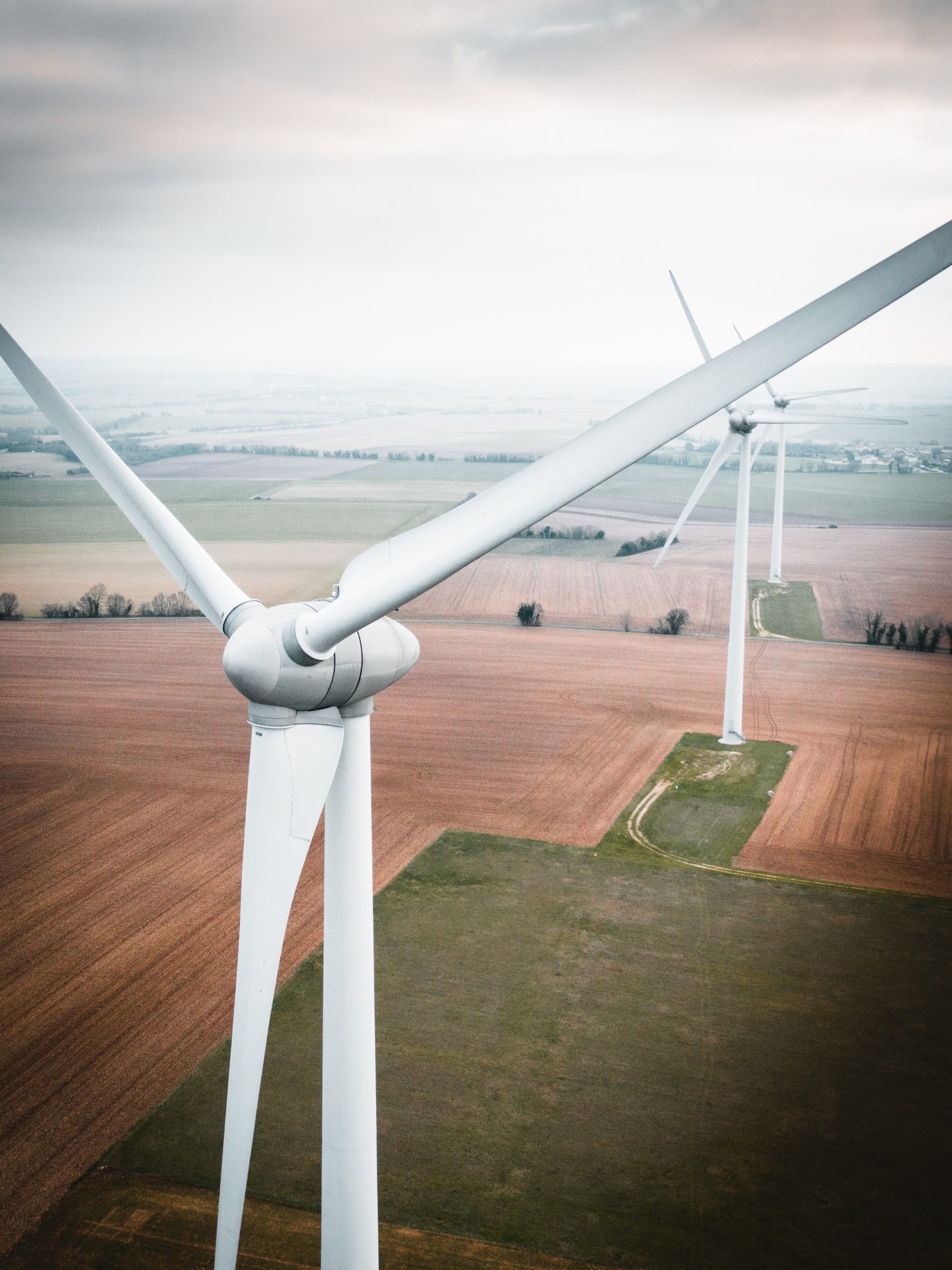
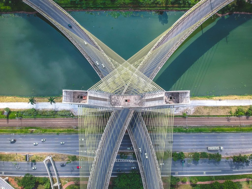
At Latitude 61°N we use drones to make your projects easier by improving how companies manage the development and maintenance of infrastructure.

Using aerial drones to capture HD photo and video data and use information to communicate to subject matter experts and onsite technicians.

With the data provided, employees can work smarter and faster to resolve issues. Ultimately reducing costs, minimizing re-work, and providing invaluable visibility into the work performed.

 
  • Experience: Aviation background
  • Permits: UAS Licensed
  • Creativity : Your imagination is only limited by our battery life